


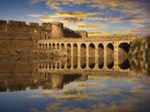
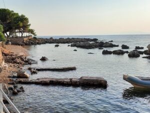
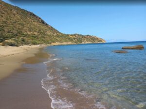


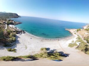
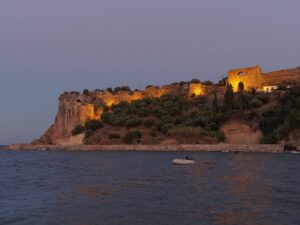
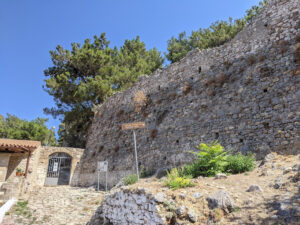
Η ομορφότερη ορεινή διαδρομή της Πελοποννήσου ξεκινάει από τη Σπάρτη για να καταλήξει στην Καλαμάτα (ή το αντίθετο), όχι όμως μέσω του σύγχρονου αυτοκινητόδρομου...
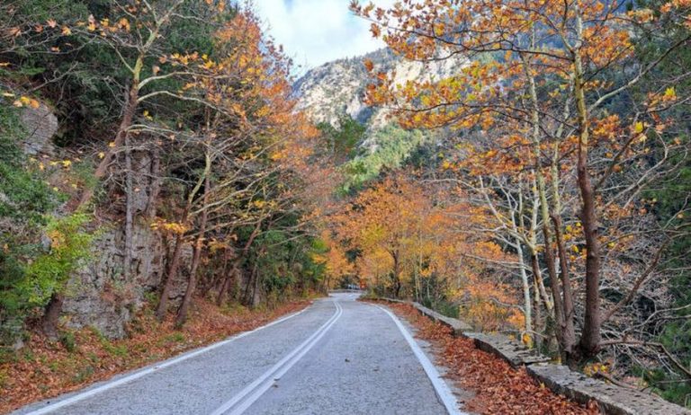
Η ομορφότερη ορεινή διαδρομή της Πελοποννήσου ξεκινάει από τη Σπάρτη για να καταλήξει στην Καλαμάτα (ή το αντίθετο), όχι όμως μέσω του σύγχρονου αυτοκινητόδρομου...
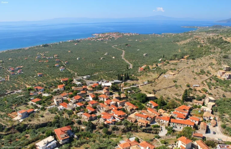
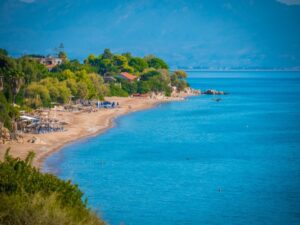
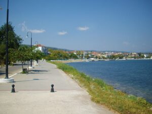
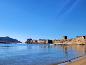
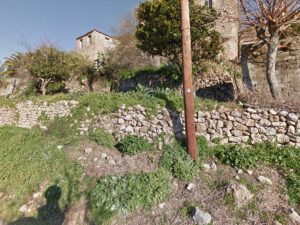
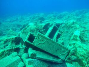
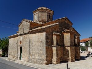
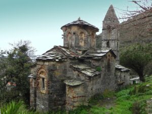
Η ιδιαίτερη περιοχή της Μάνης ευτύχησε να αναδειχθεί αρκετά από το ταξιδιωτικό ρεπορτάζ των τελευταίων χρόνων. Γεγονός είναι, όμως, ότι αυτό ευνόησε...
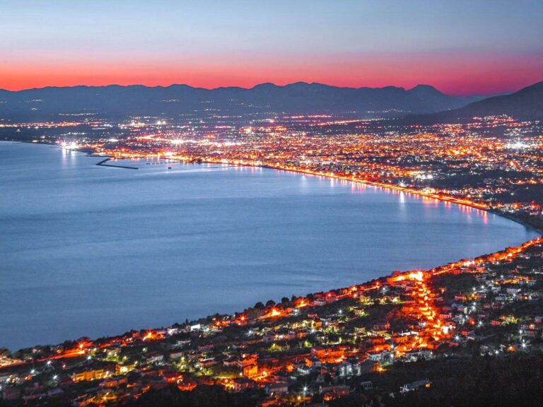
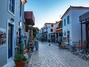
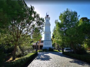
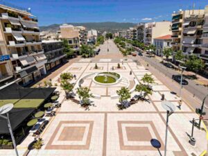
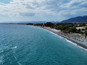
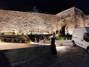
Έχουμε γράψει πολλές φορές για την Καλαμάτα και τις ομορφιές της! Ήρθε η ώρα να αναφερθούμε στους κατοίκους της και γιατί πρέπει...